In the Wells Library there were posters of Geographic Information Systems (GIS) and satellite imagery and booths displaying campus GIS information, courses and resources. The event showcased available jobs and careers, GIS training and certifications, and how GIS technologies can affect the way we view and analyze our environment. GIS professionals has booths detailing GIS mapping applications, satellite imagery, library science, environmental information and geocaching activities. Posted up on many large cork boards were satellite images. There was a game set up where people had to guess the location of the satellite image. I did not many of them but being from Washington D.C. I guessed that one right away.
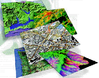
I collected a lot of good information on GIS courses and about the software the library has. I intend to take a GIS course next year and this was a nice event to get some background information. I have taken an introductory GIS course in college but I would like to be well versed in in the software and applying it to real world situations. The use of GIS has increased rapidly and are in use for most development plans. Some examples for GIS that I am interested in for on conservation efforts, studying species habitat and studying tree loss.

No comments:
Post a Comment